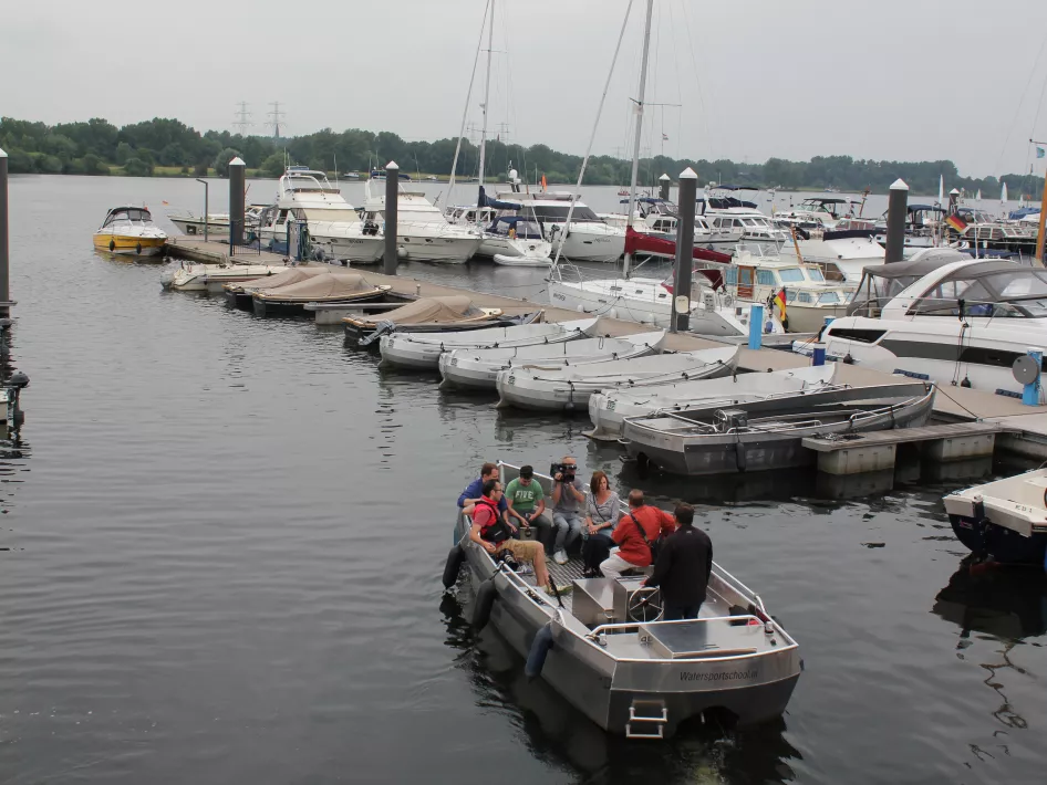
Tourist harbour
Number of places for passers-by 10
Number of permanent places 0
Fuel supply Yes
Waiting area
Number of cones 0
Length 25
Has a user limitation Yes
User restriction note SWF
'LATITUDE: 51.189872, LONGITUDE: 5.973531'
Passenger Harbour Krekelberg Nautic
Passantenhaven Krekelberg Nautic
Abdis Aleydisstraat 1-55
6041 VJ
ROERMOND
Note Boxes. Depth: SP-2.00m = NAP + 14.85m / SP-1.00m = NAP + 15.85m.
Nearby
The distances mentioned below are the distances from the location above.
1,17km
Cycle route
1,17km
Cycle route
1,17km
Walking/hiking routes
1,17km
Walking/hiking routes
1,18km
Cycle route
1,18km
Cycle route
1,18km
Cycle route
1,18km
Cycle route
1,18km
Cycle route
1,18km
Walking/hiking routes
1,18km
Walking/hiking routes
1,18km
Walking/hiking routes
1,18km
Cycle route
1,18km
Cycle route
1,18km
Walking/hiking routes
1,18km
Cycle route
1,19km
Cycle route
1,41km
Cycle route
1,84km
Walking/hiking routes
1,85km
Walking/hiking routes
2,82km
Walking/hiking routes
2,83km
Walking/hiking routes
3,05km
Walking/hiking routes
3,40km
Walking/hiking routes
3,86km
Walking/hiking routes
4,02km
Walking/hiking routes
4,51km
Cycle route
4,70km
Cycle route
4,84km
Walking/hiking routes
4,86km
Walking/hiking routes
4,86km
Walking/hiking routes
4,97km
Walking/hiking routes
5,06km
Cycle route
5,11km
Walking/hiking routes
5,24km
Walking/hiking routes
5,24km
Walking/hiking routes
5,44km
Walking/hiking routes
5,48km
Cycle route
5,48km
Cycle route
5,50km
Walking/hiking routes
5,77km
Walking/hiking routes
6,34km
Walking/hiking routes
6,39km
Walking/hiking routes
6,43km
Walking/hiking routes
6,48km
Cycle route
6,51km
Cycle route
6,61km
Walking/hiking routes
6,64km
Walking/hiking routes
6,77km
Walking/hiking routes
6,88km
Cycle route
