Part I includes the route from Pieterburen to Vorden.
The length of this route is 235 kilometers. The route is divided into 13 day stages.
Part II covers the route from Vorden to the Pietersberg near Maastricht and has a length of 257 kilometers. This route is divided into 13 day stages. Certain day stages go right through Central Limburg.
Sights along the way during this stage include:
Meerlebroek nature reserve; this nature reserve is under development and constructed to compensate for the A73. The ponds have been dug out and filled with seepage water from the hills of the high terrace. There are more and more species of water and migratory birds. Grazing is provided by Scottish Highlanders and Konik horses.
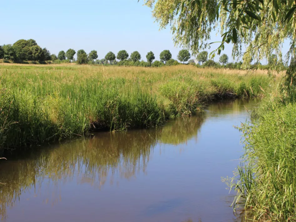
The River Swalm; the Swalm is a fast-flowing meandering tributary of the Meuse River. Especially the German part was canalized for the benefit of agriculture, but the natural course is now being restored as much as possible. Beautiful natural river bends can be seen around Groenewoud.
The village of Swalmen; village on the small river of the same name, created from an old seigniory under Gelre. On the stone Church Bridge is the statue of Johannes Nepomucemus, a 14th century priest; patron of silence, confession and bridges, among other things. On the 'Mert (Market) the old town hall and St. Lambertus Church (1896). In the stream valley near the pedestrian bridge stands the mill house of the former water mill.
We recommend you buy the Pieterpad Guide Part II for detailed directions and trail maps. You really need these to properly follow the Pieterpad. More information can be found at www.pieterpad.nl and www.nivon.nl. The guide is also available at the various tourist information offices.


