We are immediately confronted with the war at the start in Hunsel. The name of this village means "house by the swamp". At the St. Jacobus de Meerderekerk hikers notice the marlstone church tower. It turns out it is not the original, but reconstruction from 1951. The old Romanesque tower built around 1300 was blown up by German soldiers on 23 September 1944. They found this necessary to prevent the tower from being used as a viewing tower by the advancing liberators.
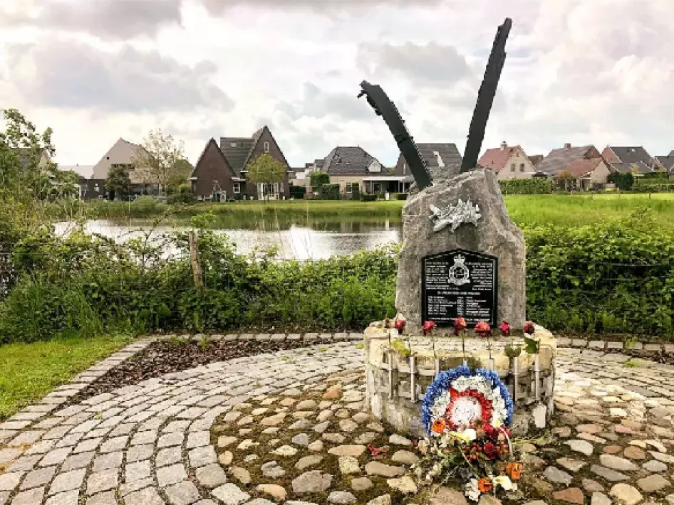
Memorial stone
We first follow the red and white markings from the parking lot at the church towards the village. At the main road (Kallestraat) we turn left and then we pass the first time the Uffelse brook. Further on keep left (Eikesstraat). The second street on the right (Lindenstraat), straight on through Jaspersstraat, and at the T-junction turn left (Schansstraat). We pass the Lancaster monument standing on the bank of a pond. In the war year 1944, a British Lancaster ME 858 bomber crashed near Hunsel on July 20. Shot down by a German fighter. The seven crew members were killed. The beautiful motto on the memorial stone: For our Today they gave their Tomorrow.
We walk further through predominantly farmland. We do not follow the red-white to the right but walk straight ahead. No markings for a while. Further on we turn left (Swillerweg), past a company building, and past Atelier OZO, then turn right at the crossroads and after a few meters turn right again (Kleinhei). From now on we follow the green rectangle markings for the entire route. For the sake of clarity, we also mention relevant junctions occasionally from here on.
We cross a stream (Langven) and walk, following the markings, to the village of Haler, where, at the modest St. Isidor's Church of node 73, we have to go via the Pinxtenstraat in the direction of 71. The name Haler means as much as "dwelling in the forest". We leave the village and return to the countryside. At Sniekstraat we turn right and a few meters further left to continue our way along a field path. After a while, the path turns into a field path. We follow it until we reach a fork in the road where we see the Belgian place name sign Molenbeersel.
Deathwire
We turn left and literally walk on the border for a while. We walk from 91 to 30. We cross the road Groot Beersel and continue walking on country roads. At a T-junction (30) we turn right towards 32. After a while, on our left, we see a border post in a field. That is number 147. Further on at the T-junction we turn left (Vlasbrei). Walking along this border road we quickly reach the boundary marker 146 on one side of the road and the monument for the death wire on the other side.
Near the border post, there used to be a farm called Kempkes, a popular smuggling nest. Complete with a store and a little barn. You entered the farm via Belgium at the front door and left the farm in the Netherlands at the back. The golden years when the smuggling of coffee, cigarettes, and spirits paid off enormously are long gone. What remains are romantic memories of the police officers hunting down smugglers.
On the other side, history is less romantic. The monument was erected in memory of the at least 500 people who lost their lives on the 332-kilometer long death wire, which the German occupier built during World War I on the border of occupied Belgium and the neutral Netherlands. Achtung, Hochspannung, Lebensgefahr warns a sign at the reconstruction of a section of this death wire. No deadly 2,000 volts on the wires as then. Intended to prevent escaping prisoners of war and deserters from fleeing and to make it difficult to smuggle goods. But there were also "accidental" victims, such as two of the 21 children of blacksmith and farmer Joseph Brouns from Molenbeersel.
Mill
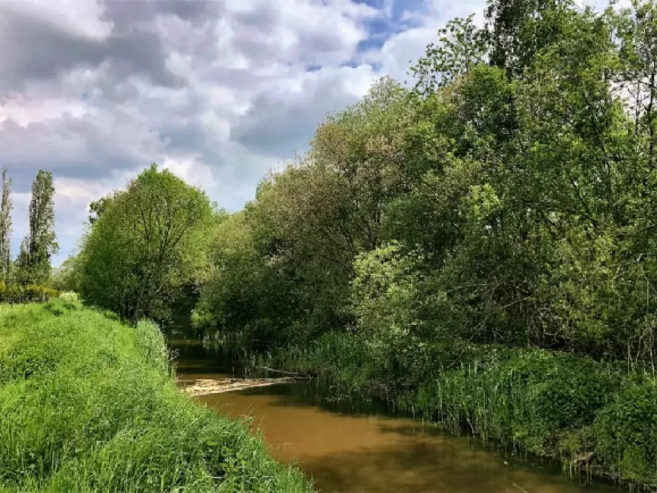
At the crossroads (32) we turn left and walk towards 31, back to Dutch territory. After a while, we reach the chapel of St. Anthony - the saint of lost objects. It was built in 1901 in memory of Antoon Verstappen, who died of tuberculosis in 1893 at the age of 19 (node 31). The chapel is located near the Uffel water mill, which of course lies on the Uffel stream. That mill was built around 1400. We cross the road, walk a bit to the right to the bridge over the Uffelse brook, and just before that bridge we turn left. From here we walk a long way along a beautiful grass path, for the most part right along with that lovely freely meandering in total 35-kilometer long Uffelse brook. Which by the way is called Aabeek in Belgium. Lots of reeds and maples on the banks and also a birch grove. The kingfisher seems to fly here, but we don't get to see the beautifully colored creature with the long beak. Via junction 10 back to junction 84 at the church with the marlstone tower, back to Hunsel.
Source: Chapeau Magazine
Photo: eighty8things

